Marine Mapping Project
Denman Island and Surrounding Waters Marine Mapping Project
In 2012, the Department of Fisheries and Oceans designated the waters of Baynes Sound and Lambert Channel as an Ecologically and Biologically Significant Area (EBSA). This was a significant recognition of the vital role these areas provide in the Pacific food web.
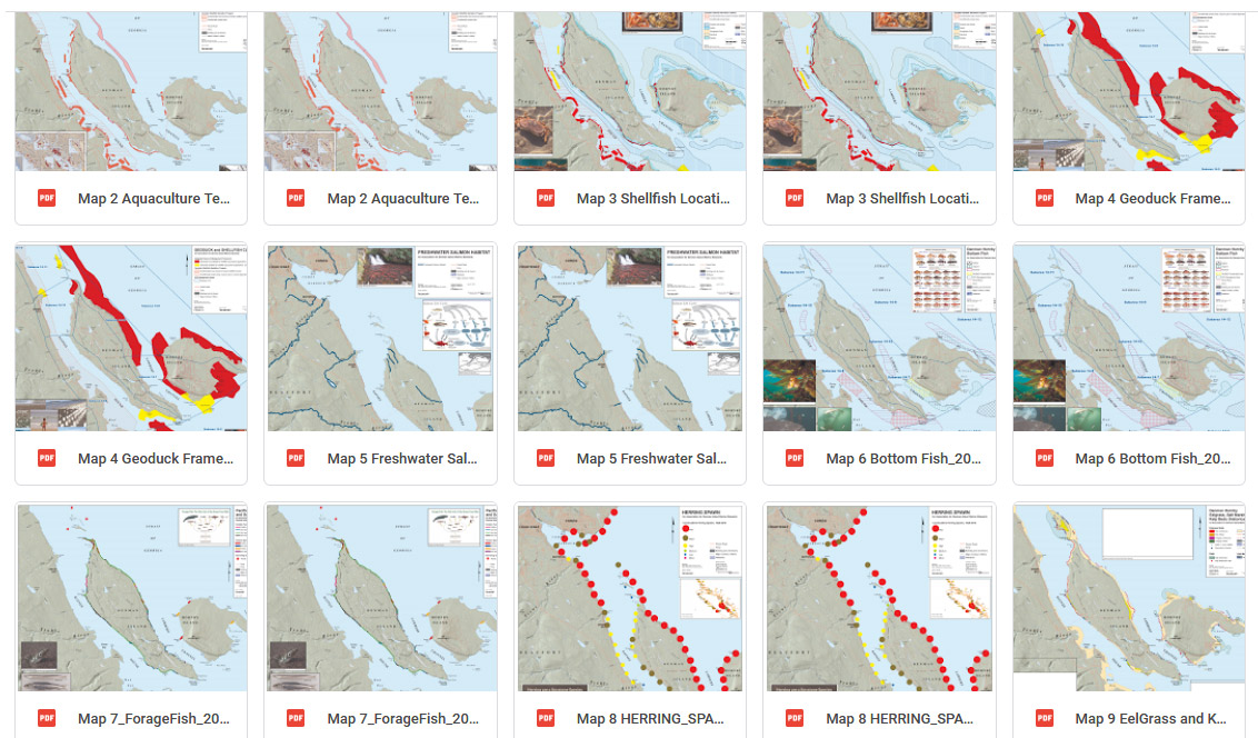
In support of ADIMS long-term goal to create awareness of the ecological and biological importance of this area of the Salish Sea -and the aquaculture, tourism and recreation interactions along its shores - ADIMS assembled a series of maps. Completed in 2019 with funding grants from Lush Cosmetics and Denman Works, the Denman Island and Surrounding Waters Marine Mapping Project produced 17 maps depicting different marine aspects of Baynes Sound, Lambert Channel and surrounding areas.
It is our hope these maps will provide a source of understanding of the wonder and diversity of this marine area and be of assistance now and in the future in preserving, protecting and restoring the marine ecosystem of our island shores and surrounding waters.
- Salish Sea - Denman
- Aquaculture Tenure
- Shellfish Locations
- Geoduck Framework
- Freshwater Salmon Habitat
- Bottom Fish
- Forage Fish
- Herring Spawn
- EelGrass and Kelp
- IBA
- Marine Mammals
- Recreation
- Wind and Tides
- Governance
- Denman Aquaculture
- Denman Biophysical Features
- Bathymetric